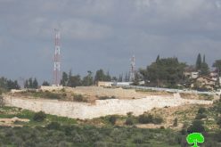
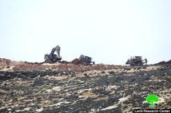
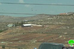
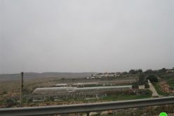
The occupation announces colonial plans to expand 4 settlements on an area of 850 dunums
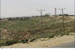
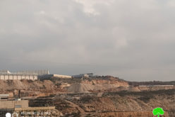
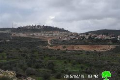
The Israeli occupation authorities announced the deposit of detailed plans to expand four settlements built on citizens’ lands in the governorates of Nablus, Salfit and Bethlehem.
The settlement subcommittee of the so-called Civil Administration published four plans for the expansion of colonies (Elkana, Elon Moreh, Har Gillo, Rahalim), and thus announced that they were filed for objection for a period of (60 days) from the date of their publication.
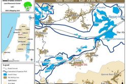
The Geographic Information Systems Unit at the Land Research Center has drawn up the plans that came as follows:
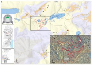
First: Plan №. (1/171) for the expansion of the settlement of “Rahalim” built on the lands of Salfit Governorate. The area of lands covered by the scheme reached (430 dunams), as the outpost (the settlement neighborhood) located to the west of the settlement will be legalized, and more lands will be included. The construction of (212) new settlement units, as it was noted that this plan almost touches the borders of the classified “B” area of the Palestinian Authority administration.
This plan is based on parts of the natural basins from the lands of the towns of Al-Sawiya, Al-Lubban Al-Sharqi, and Sakaka, and Yatma as follows:
- Basin №. 8- Part of the area of Al-Talma land from the lands of the village of Al-Sawiya.
- Basin №. 7 – part of the Wadi Yusuf area from the lands of the village of Al-Sawiya
- Basin №. 6- Part of the Qena area in the lands of the village of Al-Sawiya.
- Basin №. 6 – a part of the Warat Hussein area from the lands of the village of Al-Sawiya.
- Basin №. 7- Part of the ‘Ashara area of the lands of the village of Al-Sawiya.
- Basin №. 8 – part of the area of Khallet Wasel from the lands of the village of Al-Sawiya
- Basin №. 8- A part of the Hareq Abdel Razek fire area from the lands of the village of Al- Sawiya.
- Basin №. 8 – a part of the Weret Antar area from the lands of the village of Al-Sawiya.
- Basin №. 9 – part of the Khallet Hammoud area – from the lands of the eastern al-Lubban village.
- Basin №. 9 – part of the Wadi Yusuf area from the lands of the eastern al-Lubban village.
- Basin №. 3- Part of the Qena area in the lands of Sakaka village.
- Basin №. 3- Part of the Khallet Al-Abees area in the lands of Sakaka village.
- Basin №. 5 – part of Harikat Abu Sarhan area – from the lands of Sakaka village.
- Basin №. 5- Part of the Wad Salem area from the lands of Sakaka village.
- Basin №. 7- Part of the Al-Jameh area from the lands of the village of Yatma.
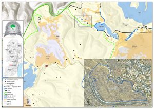
Second: Plan №. (1/4/401) for the expansion of the “Har Gillo” settlement built on the lands of Bethlehem Governorate. The area of the plots covered by the plan has reached (200 dunams), where a new settlement neighborhood will be established to the southwest of the existing settlement there.
This plan will include the lands of the villages of Walaja and Battir, and in the following locations and basins:
- Basin №. 3, part of the Sarj area from the lands of the town of Al Walaja.
- Basin №. 3 is part of the Khallet Al-Nafla area from the lands of Al-Walajah town.
- Basin №. 16, part of the area of the baten Ibn Horus from the lands of the town of Battir.
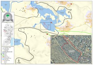
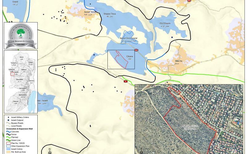
Third: Plan №. (125/125) for the expansion of the “Elkana” settlement built on the lands of Salfit Governorate, where this plan will include an area of (110) dunams, and aims to establish a new settlement neighborhood (350 settlement units) on the western edge of the existing settlement there.
The plan will be imposed on the Palestinian citizens’ confiscated lands in the town of Mas-ha, which is located in Natural Basin No. 3 – part of the Western Wajh site.
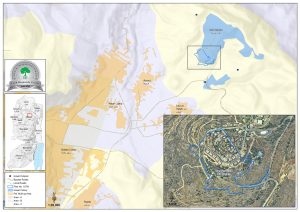
Fourth: Plan №. (107/8) for the expansion of the settlement of ” Elon Moreh” built on the lands of Nablus Governorate, where this plan will be imposed on an area of (110) dunams of the Palestinian citizens’ confiscated lands, with the aim of establishing a new colonial neighborhood to the west of the settlement.
This scheme will be imposed on parts of the Palestinian citizens’ lands in Basin №. 8 of the lands of Deir Al-Hatab, and Basin №. 10 of Azmut lands.
The Land Research Center
LRC

