- Violation: demolition and confiscation
- Location: Wad Qana area
- Date: February 13, 2018
- Perpetrators: Israeli Occupation Forces
- Victims: four Palestinian families
Details:
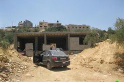
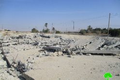
Israel Nature Authority and Israeli Occupation Forces raided on February 13, 2018 Wad Qana area, north Salfit governorate and vandalized two residences built over sixty years ago, one residential cave and a sheep barn. In addition, the force confiscated an agricultural tent and some solar units.
Noteworthy, the affected residences were inhabited before the war of 1967 but were left since then. In 2017, the municipality of Deir Istiya rehabilitated those houses to preserve the area's heritage and help farmers use them again. As a result, the occupation notified the houses of eviction on claim of violating a "nature reserve".
It should be marked that the demolished houses belong the following owners:
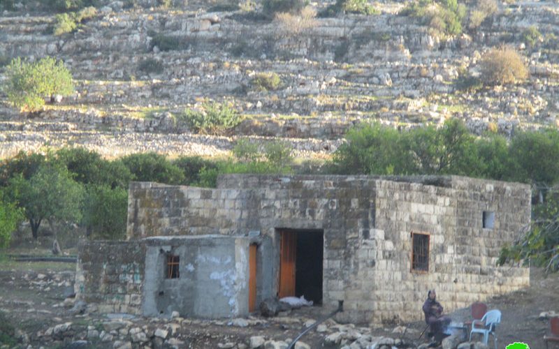
1. Citizen Khalid Abu Hajaleh: his house was built in 1951 with a total area of 90m2. After the rehabilitation process, the house is now used by the farmer's Jihad Mansor and his six member family.Noteworthy, the occupation confiscated the house's five windows' bars and two doors.
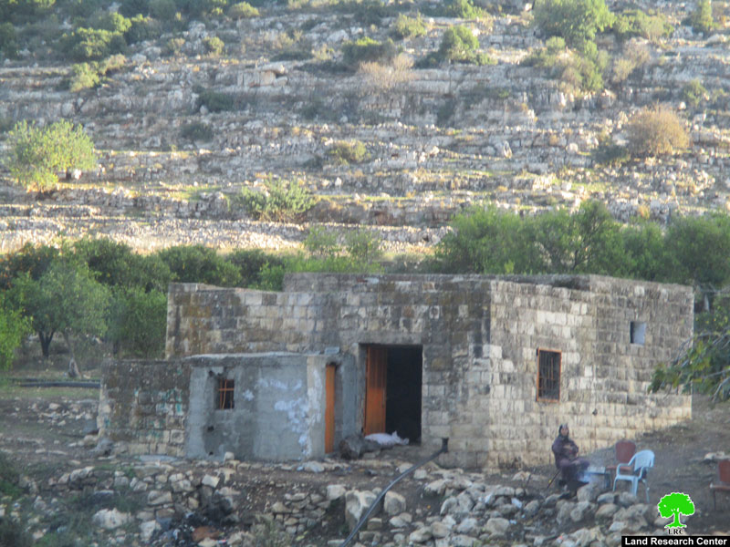
Photo 1: the vandalized house
2. Citizen Abdelhamid Abu Hajaleh: the occupation force demolished his house that was built in 1952 with a total area of 70m2. After the rehabilitation process, the residence was used to house 70 sheep belonging to four farmers from the area.
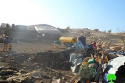
The force also demolished a residential cave in the area of "Shaqif Al-Dannan" and a 60m2 sheep barn. Not only, the attacking force confiscated an agricultural tent (12m2), house furniture and a solar unit used to generate electricity.
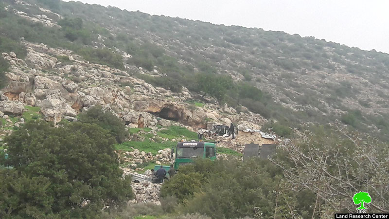
Photo 2: the Israeli dozer at time of demolition
It should be marked that occupation has been conducting the double standards policy since it fought against the Palestinian presence in Wad Qana through damaging agricultural lands, cutting off trees, and confiscating agricultural equipment where it notably encouraged colonial expansion and land grab. The area has become an aggrieved one since it is surrounded by 10 colonies from all directions controlling vast area of land.
The natural resources also became a target for the occupation and colonists as well. Archeological places in addition to water spring have been a primary interest for the occupation to control and monopolize
About Wad Qana:
It is located in the northwest part of Deir Istiya and surrounded by: Jinsafut, Kfar Laqif and Azzun from the east, Siniria and Kfar Thulth form the west, Qarawat Bani Hassan from the south, and Immatin and Deir Istiya from the east. Most of Wadi Qana lands are owned by farmers from Deir Istiya. The valley overlooks "Yakir" colony from the southern side and near to is "Nofim" colony. From the north side, there are three colonies surrounding the valley and they are: "Karni Shamron", "Jannat Shamron", and "Maa'ni Shamron".
Wadi Qana is relative to the village of Deir Istiya ( 34,129 dunums) and has a total land area of 10,000 dunums, of which 13 dunums are the built-up area and 11 water springs. Worth mentioning, the place is planted with citrus, olives, and field crops.
The area is a natural slope that is located between two mountains and is famous for water abundance and soil fertility.
The lands of Deir Istiya are classified, according to Oslo accords as follows:
- Area B: it totals around 6132 dunums (18% of the village's total area)
- Area C : it totals around 27997 dunums (82% of the village's total area)
- Noteworthy, Wad Qana lands are all classified as area C.
Prepared by
The Land Research Center
LRC