Violation: road closure
Location: Al-Mughayyir village- Ramallah
Date: March 19, 2018
Perpetrators: Israeli Occupation Forces
Victims: residents of the village
Details:
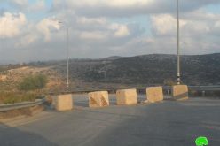
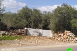
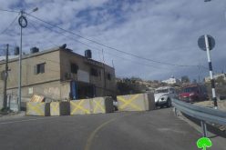
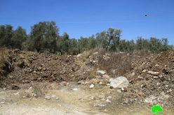
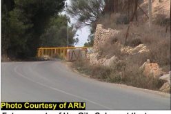
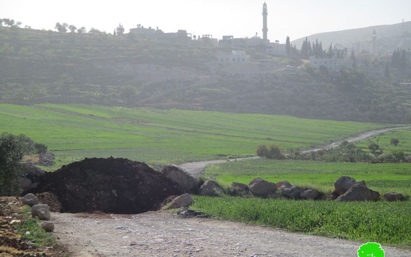
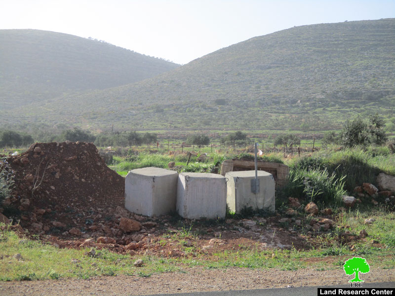
Israeli Occupation Forces closed on March 19, 2018 the entrance of Al-Mughayyir village, north east Ramallah via earth mounds. Also, another agricultural road to the north of the village was closed by road blocks during the same attack on the area. Noteworthy, the road links the village to the Israeli bypass road number 458.
According to Land Research Center, the entrance is the only linking point between the village and other Palestinian towns and villages.
After closing the road, travelers, now, need to take substitute roads that pass through the villages of Turmus'ayya, Khirbet Abu Falah, Kfar Malik and Oyoon Samiya to reach the village. The new distance is 17 km more than the original route.
A member of the village council, Faraj Na'san, told Land Research Center the following:
" During the past couple of years, the entrance was closed too many times for no reason but all indications prove that the occupation is doing this to please colonists who travel through the bypass road that is adjacent to the village. The Israeli occupation seeks to harass the villagers through denying them right to access the area and imposing movement restrictions on them alongside with confiscating their lands for colonial expansionist plans".
Residents of Al-Mughayyir are now aggrieved by this measure. Citizen Mu'tasem Na'san said that there are more than sixty workers who take the closed road to head to their jobs in the Jordan Valley area. Not only, many students, employees and patients use the same road. Now after closing the road, suffering will massively increase.
Photo 1: the closed entrance
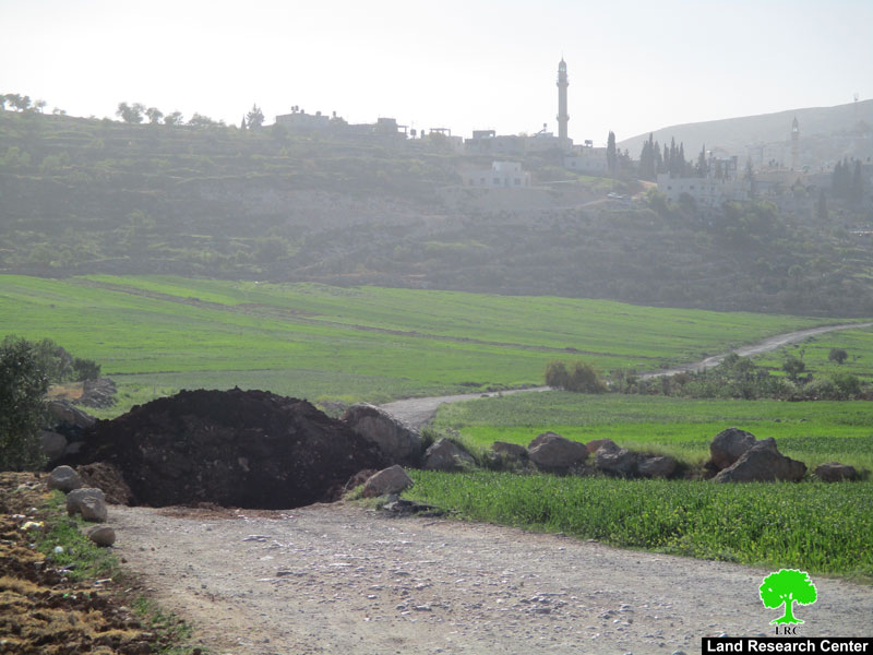
Photo 2: the closed agricultural road
About Al Mughayyir:
Al Mughayyir is located 30 km to the north east of Ramallah; it is inhabited by around 3054 people according to 2014 PBS population projections.
Most of the village agricultural farmlands are located in its eastern parts; its total area is 33055 dunums, 501 of which are built-up area.
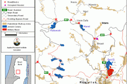
The Israeli occupation confiscated 37 dunums of Al Mughayyir lands for bypass #458.
According to Oslo Accords, about 95% of the village is under Area C (Israel maintains full security and administrative control) while only 5% is under Area B (PA is in charge of civil matters with Israel responsible for security). Here are the areas in dunums:
- Area B (1, 695) dunums.
- Area C (360, 31) dunums.
Al Mughayyir is strangled by Israeli colonies from all sides which makes the village a place to covet for colonists. From the eastern part of al Mughayyir, there are Tomer, Gilgal, Pezael, and Netiv Hagedud colonies while from the west, there are Shvut Rachel and its outposts as well as Shilo. Colonies of Niran, Yitav, and Kokhav Hashahar are located to the north of the village while Maale Efrayim and Migdalim to the south.
Prepared by
The Land Research Center
LRC