- Violation: closing main agricultural roads
- Location: Al-Sahlat area
- Date: April 06, 2016
- Perpetrators: Israeli Occupation Forces
- Victims: farmers of the area
Details:
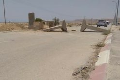
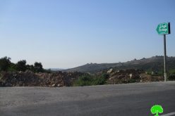
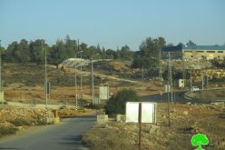
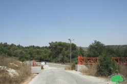
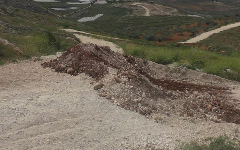
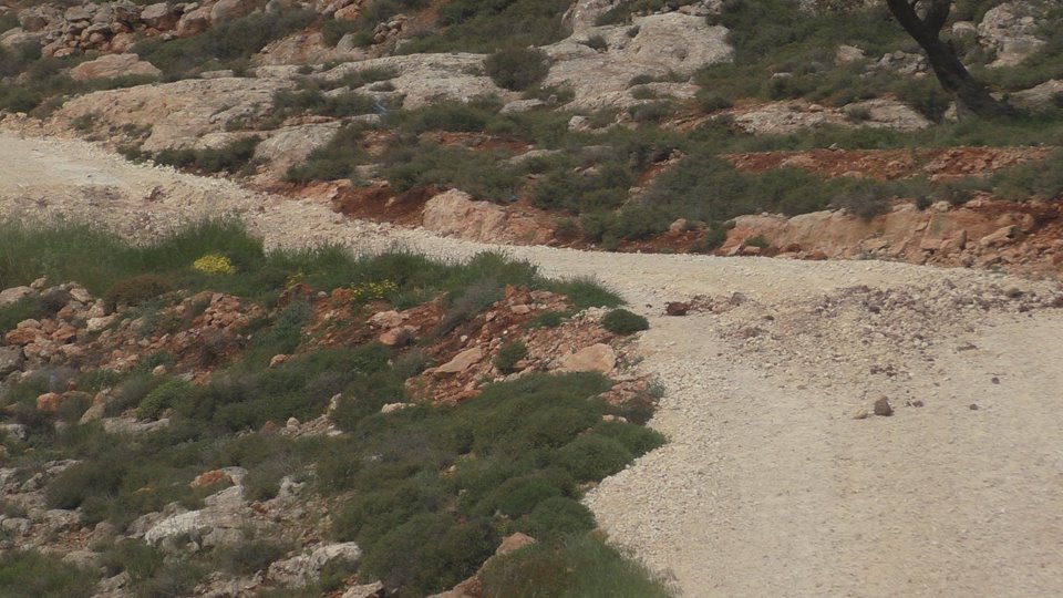
Israeli Occupation Forces on April 06, 2016 closed three main agricultural roads in the area of Al-Sahlat via earth mounds and trenches. Noteworthy, the roads are considered a linking point between the area and some farmers lands that are threatened of takeover by colonists.
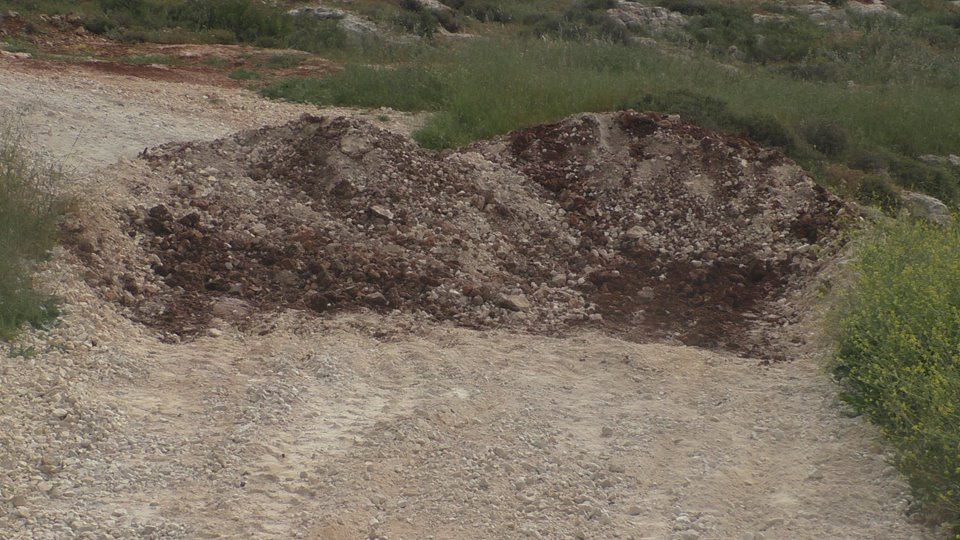
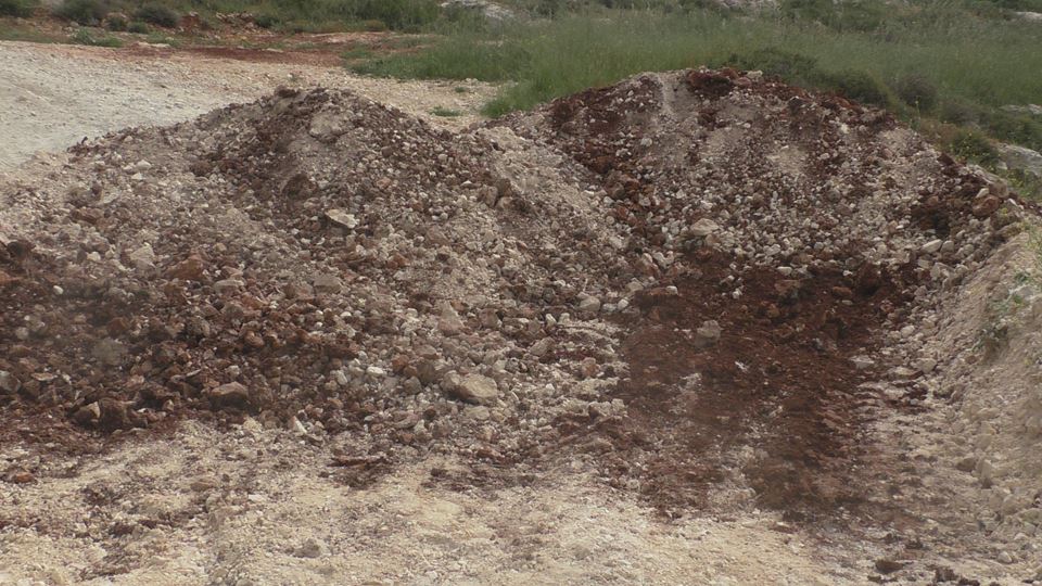
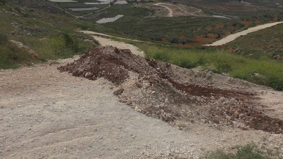
Photos 1-4: the earth mounds used to close the roads
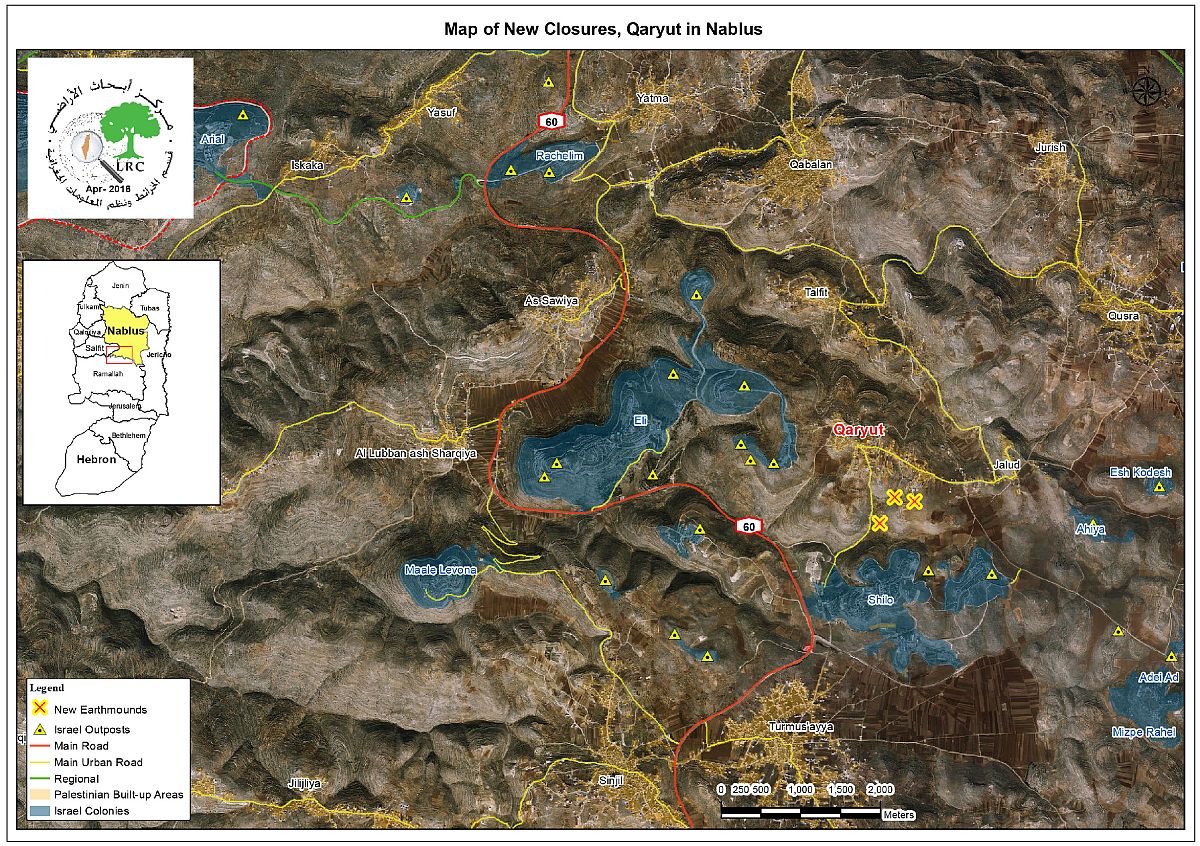
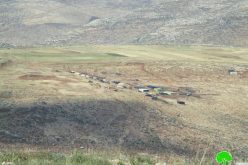
Photo 5: an aerial photo illustrating the closures locations
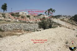
It should be marked that the closed roads are located nearby Shilo colony and Silon archeological site that has been recently Judaized by the occupation.
The roads are reported rehabilitated in 2015 though " Première Urgence Internationale" PUI and EU to be protected from colonial interests and expansionist plans, which are for the favor of nearby colonies of Heyoval, Shilo and Eli.
The rehabilitation project included three roads with an estimate of 190,000 INS as follows :
- Al-Sahlat road (1500m)
- Khirbet Sura road (1700m)
- Ein Qaryut road (300m)
It should be marked that the aforementioned roads are located to the south of the village. According to the data of the village council, the roads serve 1500 dunums, of which 700 dunums that are planted with field crops where the rest are planted with olive and almond trees. Noteworthy, the lands are owned people from the village.
On March 03, 2015, the Israeli occupation authorities served Qaryut village council a stop-work order compelling a halt of construction on the aforementioned roads under the pretext of lacking legal permits and licenses in area classified C according to Oslo Accords.
A contradicting reality:
In the same time the occupation denies farmers from accessing and using their southern lands of the village on the claim of them being "State lands", it opens colonial roads, works hard to Judaize archeological sites and expands colonies through annexing residential units to them.
It should be marked that the Israeli occupation never stopped harassing the people of Qaryut ever since 1967; a total of 80% from the village's lands was taken to serve a major colonial plans to separate the north of the West Bank from the southern part.
It should also be marked that that more than 15 residences are threatened of stop-work and demolition, not mentioning the olive groves that have been declared inaccessible for farmers. The Israeli occupation authorities continued carrying out raids and break- ins on houses and fields of the area, leaving many youth dead, injured or arrested.
About Qaryut:
Qaryut is 20 km south of Nablus and 28 km away from Ramallah. It is one of the villages that are totally surrounded by colonies and outposts. The village populates 2321people on a total land area of 8471 dunums, of which 312dunums are the village's built-up area.
The Israeli occupation 1332 dunums from Qaryut village for the favor of the following colonies:
- Shilo colony: it was built in 1978 on 799 confiscated dunums from Silon lands. Now, the colony has a total built-up area of 1347.
- Eli colony: it was built in 1984 on 553 confiscated dunums. Now, the colony has a total built-up area of 3360 dunums.
Prepared by
The Land Research Center
LRC