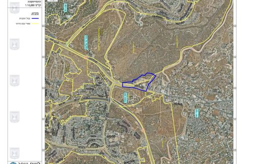
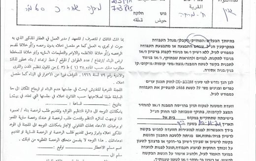
أعلنت الإدارة المدنية الإسرائيلية، الذراع الأيمن لحكومة الاحتلال الاسرائيلي في الضفة الغربية المحتلة, في الاسبوع الاول من شهر نيسان


Finally, after 152 months since the request submitted by the Palestinian on September 2011 for the UNSC vote on


Daily Report

10 February 2023 Throughout the years of occupation of the Palestinian territory, Israel has engaged in excessive and disproportionate

ARIJ Daily Report – Thu 9th 02 2023
February 9, 2023
ARIJ Daily Report – Wed 8th 02 2023
February 8, 2023
ARIJ Daily Report – Tue 7th 02 2023
February 7, 2023
ARIJ Daily Report – Mon 6th 02 2023
February 6, 2023
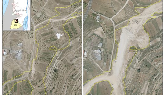
تقع محافظة الخليل في الجزء الجنوبي من الضفة الغربية المحتلة، إلى الجنوب من مدينة القدس، وعلى بعد حوالي 36

الاعتداءات الإسرائيلية على الفلسطينيين لا تقتصر على التنكيل بالافراد، أو وضع القيود على الحركة والتنقل، أو استهداف المنازل والمنشات،


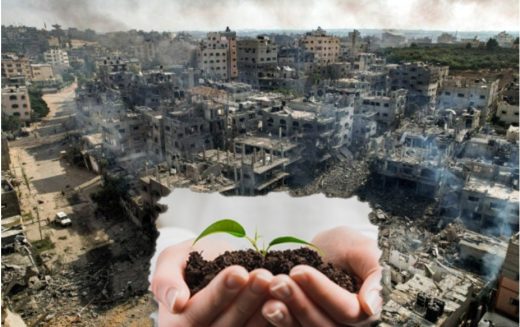
ان الحرب الإسرائيلية المسعورة ليست محصورة في قطاع غزة المحتل فقط، بل تمتد آثارها إلى الضفة الغربية المحتلة حيث

إسرائيل تقرر بناء جدار على الحدود الشرقية مع المملكة الأردنية الهاشمية
September 27, 2023
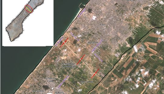
أظهرت صور الأقمار الصناعية الصادرة عن برنامج مراقبة الأرض التابع للاتحاد الأوروبي (كوبرنيكوس) لقطاع غزة المحتل في العاشر من
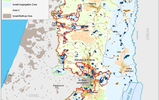
الحرب على قطاع غزة وتأثيرها على محافظة الخليل جنوب الضفة الغربية
November 27, 2023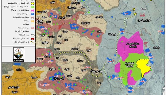
نشرت سلطات الاحتلال الإسرائيلي على موقعها الإلكتروني في الرابع والعشرين من شهر اذار من العام 2024 أمرا عسكريا جديدا
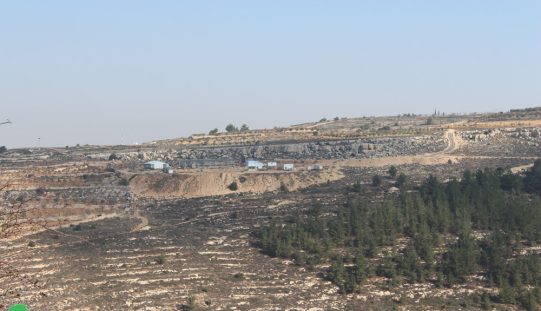
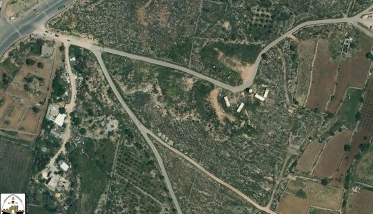
الانتهاك: جرافات الاحتلال تهدم غرفة زراعية. الموقع: بلدة نحالين/ محافظة بيت لحم. التاريخ: 21/12/2022م. الجهة المعتدية: ما تسمى بالإدارة المدنية الإسرائيلية
